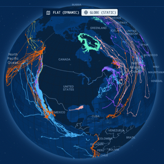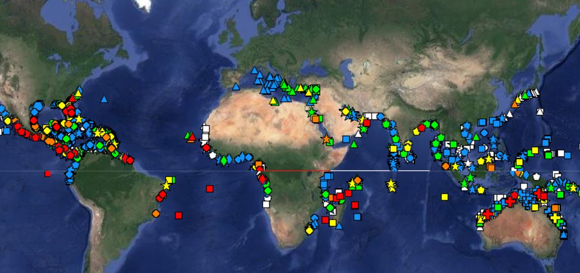
OBIS-SEAMAP, Ocean Biogeographic Information System Spatial Ecological Analysis of Megavertebrate Populations, is a spatially referenced online database, aggregating marine mammal, seabird, sea turtle and ray & shark observation data from across the globe.
OBIS-SEAMAP is aimed at augmenting our understanding of the distribution and the ecology of marine mammals, seabirds, sea turtles and rays & sharks by the following approaches:
- Quantify the global patterns of marine species distribution and biodiversity
- Design and implement standard databases and innovative sampling techniques
- Emphasize time series / comparative studies
- Facilitate study of status and impacts on threatened species
- Enhance ability to test hypotheses about biogeographic and biodiversity models
- Support modeling of shifting species distributions in response to environmental change